

Monday we headed East to visit the Matanuska Glacier. The drive over took about hour and a half, but there were lots of stopping off points to enjoy the scenery (and find a geocache). This photo shows the Matanuska river which the road follows all the way to the glacier.

follow this all the way up

This is our first view of the glacier from a stop along the road.


This was on the opposite side of the road from the area where we stopped, loose rock and gravel hill, that just begged to be climbed. The words and names spelled out in white rocks reminded us of the same thing done in Hawaii, but the white rocks were placed in lava flow areas.

Before heading up to the glacier we stopped for lunch at the Long Rifle Lodge, a great place, that had unbelievable views of the glacier. We were the only customers there, so we received great service, and really good food, and the prices for Alaska were reasonable.

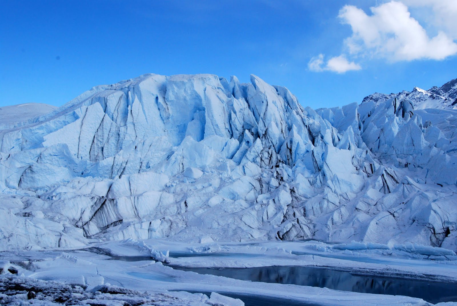
After lunch we headed up to the Glacier Park area paid our way to get in after signing waivers that we wouldn't hold them responsible for any accidents. We drove to the parking lot and this was the view that met us.

We followed as well as we could the path laid out with the orange cones, through loose rock and dirt, mud, and under it all, a thick layer of ice.

getting closer but still a ways to go

It's a little hard to see in this photo, but there are small rocks frozen in ice in each of the sections of snow. The sun will warm the rocks and they melt down through the snow layer into the ice only to refreeze and become encased in the ice layer. You can walk on top of this and it makes a crunchy sound.

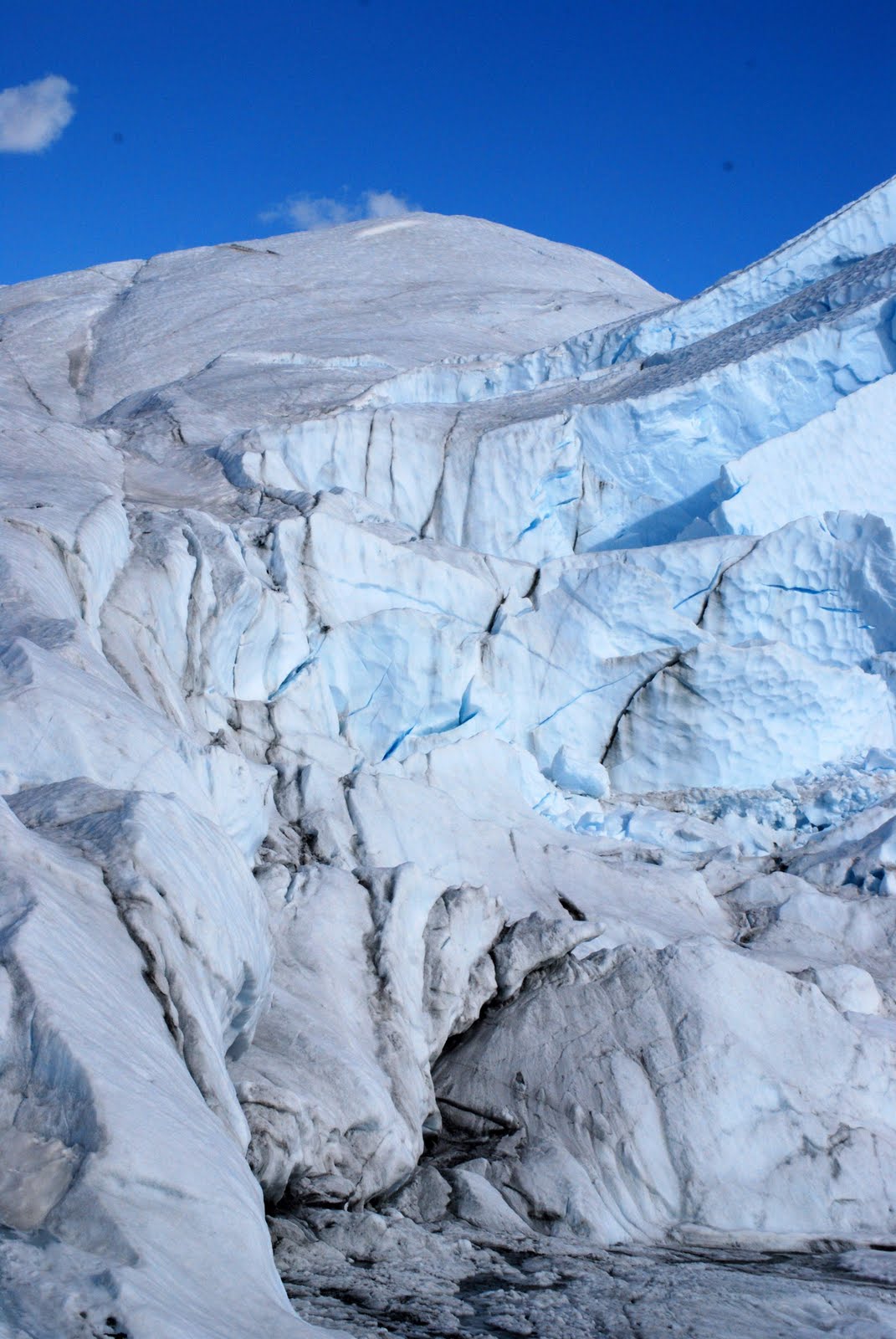
Closer


On the way up there are numerous small flows of water, this one cut under the bank of ice, and shone like silver.

The kids stopped to feel how cold the water was and when they could lay down and drink straight from the glacier, I even did it, that was some good, cold water.


closer, but still farther...

somethings you don't even notice until you're right on top of them, beautiful

on top of the world

a view back down the valley from the glacier

I don't know how Kamryn and Ian got over there so quickly and why they are sitting so close to that crevasse

I'd hate to fall in that!

This is just to prove that I was actually there!

The views just keep getting better and better


how did that round hole get in there?


a larger rock in the ice layer under the snow.

Now I'm going to stand here, and they are going to hike up to the top, then I'll follow, here we go..

They made it, what can't tell that's them?

okay can you tell that's them now?


The previous photos are all views from the top, we stayed a while just looking around and resting, it had taken about an hour and a half to get up.

views on the way back down, we were up on the highest part in the center, you can see it from a good distance with the white line coming down and the darker scar running across
farther away

back down almost to the parking lot, see the peak we were on? Wow, I guess we didn't really get that high. It sure seemed like it at the time and took 1 1/2 hour to get there and 45 minutes to get back, it was worth it.
No comments:
Post a Comment
I'd love to hear your encouraging comments!